Across Sydney, Melbourne, and thirteen other major cities worldwide, something peculiar is happening in the sky—rain is falling more often over urban areas than over the countryside around them. But a new study published in Environmental Research Letters suggests that what scientists have long observed through satellite data is far more complicated than it first appeared.
This distinction matters deeply. As most of humanity now lives in cities, even small shifts in rainfall patterns can ripple across millions of people through flooding, stormwater management, water supply planning, and infrastructure design. Previous satellite research had consistently shown cities experience more rain, leading researchers to attribute this to the urban environment itself—the heat radiating from buildings and roads, the roughness of city surfaces, aerosols in the air, and the altered landscape all feeding back into storm development.
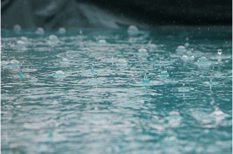
Researchers examining NASA's Integrated Multi-satellite Retrievals for GPM, known as IMERG, across 15 of the world's largest cities—including Sydney and Melbourne—discovered a crucial nuance. Cities do indeed experience more frequent rain events. But here's the surprise: individual storms over urban centers often drop less water than those in surrounding rural areas. The main urban signal in IMERG was not heavier rain, but more frequent rain.
The breakthrough came when scientists separated their satellite data by observation type. Modern satellite rainfall estimates combine infrared and microwave observations, each with distinct strengths and weaknesses. Infrared sensors estimate rainfall indirectly from cloud-top temperatures, providing broad coverage but potentially missing light showers or warm rain. Microwave satellites in low orbit detect signals more directly linked to actual raindrops and ice inside clouds. When the researchers split the IMERG data by sensor type, the urban rainfall pattern came almost entirely from microwave observations, while infrared estimates showed no urban signal whatsoever.
This discovery raised a troubling question: What if the pattern was not real, but an artifact of how the satellites themselves have changed? Microwave observation coverage nearly doubled between 2001 and 2023 as new satellites were launched and older ones retired. A light shower missed in 2002—because no satellite happened to pass overhead at that moment—could now be caught by one of several satellites sweeping across the same city within an hour.
To test whether this changing satellite sampling created an illusion, researchers compared trends in microwave observations against long-term averages, effectively isolating the effect of better observing systems from actual weather changes. The results were striking: changes in microwave sampling explained up to 20 percent of long-term rainfall trends across all 15 cities. For rainfall frequency specifically, cities including Lagos, London, Melbourne, Beijing, Berlin, Mexico City, and Paris showed areas where more than 40 percent of the apparent trend could be traced directly to the evolving satellite network rather than actual rainfall increases.
Yet the story does not end in disappointment. After accounting for these sampling artifacts, the urban rainfall signal persisted. Cities really are experiencing more frequent rain events—just perhaps not as dramatically as satellites had suggested. For Sydney specifically, researchers cross-checked IMERG data against both an independent satellite product called CMORPH and rain gauges from the Bureau of Meteorology, further validating that urbanization does influence rainfall patterns, even if the magnitude requires recalibration.