For the first time in years, the Pacific Ocean is speaking again — and scientists are listening more carefully than ever. A 2026 El Niño is now officially underway, according to the National Oceanic and Atmospheric Administration, with more than a 50 percent chance this event could grow into something rarer and more powerful: a "super" El Niño.
The phenomenon, explains Kevin Trenberth, a scientist at the University of Auckland and distinguished scholar at the National Center for Atmospheric Research in Boulder, Colorado, occurs when warm water pooled in the Western Pacific surges eastward across the equatorial Pacific, reshaping atmospheric circulation worldwide. "The Pacific Ocean is huge in the tropics, and it extends more than a quarter of the way around the globe," Trenberth told Living on Earth's Jenni Doering. "It gets to a point where so much heat is stored up there, the Pacific sort of says, 'I can't stand it anymore. I'm going to have an El Niño.'"
This year, that warming has crossed a threshold. When sea surface temperatures in the tropical Pacific rise more than 2 degrees Celsius above average across a sustained region, meteorologists classify it as a "very strong" El Niño — the kind sometimes called "super." There have been only about three such events on record. The strongest effects typically peak around December, with global temperature impacts reaching their height by February 2027.
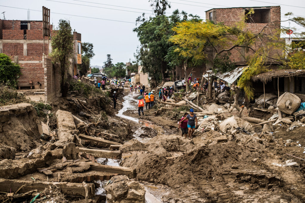
For communities worldwide, the consequences are tangible. El Niño reshapes rainfall patterns, shifts tropical storm tracks, and influences wildfire risk. Southern California and the southern United States face heightened storm activity, while Southeast Asia may experience a weaker monsoon season — a serious concern for regions where eight months of the year are dry and agriculture depends on seasonal rains.
But there's reason for cautious optimism amid the disruption. Unlike past decades, today's scientists have sophisticated monitoring networks, decades of historical data, and advanced climate models working in their favor. Trenberth himself has spent a career studying these cycles, and agencies like NOAA are tracking the event in real time. That knowledge translates into earlier warnings for farmers, city planners, and emergency managers — giving communities time to prepare rather than simply react.
"El Niños have strong teleconnections — huge wave patterns that extend into both hemispheres," Trenberth noted. Understanding those patterns is exactly what the global scientific community is now doing, providing the world with something precious: advance notice. The Pacific has made its move. Now, thanks to decades of research, humanity is not caught off guard.