At Jebel Barkal in northern Sudan, pyramids and temples rise from the desert in haunting silence—the remnants of Kush, an ancient empire that commanded the Nile Valley for more than 2,000 years. But for all the awe these monuments inspire, archaeologists knew strikingly little about the city itself: where ordinary people lived, what they ate, or how they obtained water from a river that now flows a mile away. A team of researchers decided to answer these questions by looking backward into the earth itself.
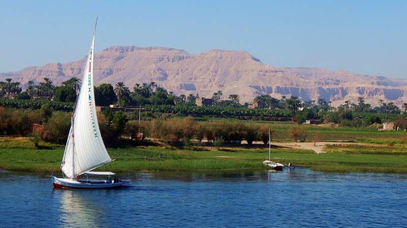
The puzzle of Jebel Barkal matters because understanding ancient Kush challenges a common assumption about how civilizations thrive. Unlike Egypt, where the Nile's annual floods deposited rich silt and allowed farmers to store water in basins for later irrigation, the Sudanese stretch of the Nile tells a different story. Here, bedrock outcrops called cataracts—islands, rapids, and small waterfalls—interrupt the river's flow. The channel cuts deeply into the bedrock and confines the water more tightly to its banks, leaving narrower floodplains and making it harder to capture water for dry seasons. Yet Kush rose here anyway, flourishing from roughly 2000 B.C.E. to 350 C.E. How did they manage it?
To uncover that answer, researchers including geomorphologist Jan Peeters and Tim Winkels from the Netherlands collected 26 sediment cores across the landscape around Jebel Barkal—time capsules of earth averaging 26 feet deep and 3 inches in diameter. Seventeen of these cores formed a line across the Sudanese Nile valley; nine focused on the ancient city itself. Each core preserved stacked layers of sediment deposited by thousands of years of Nile flooding, desert drainage, and climate shifts. Extracting them proved grueling work under the Saharan sun, involving weeks of drilling with hand augers and gas-powered equipment. Hatim Awad Abdullah, a local team leader, brought invaluable knowledge to the effort—his father and grandfather had passed down memories of the river flooding different areas in earlier times, insights that deepened the researchers' understanding of how the landscape had transformed.
Once the cores were extracted and laid out in sections, the geomorphologists read them like pages in a book written by nature itself. Finer clays and silts deposited during gentle Nile floods differed from coarser sands that arrived via more turbulent desert drainage channels called wadis. By working from the oldest sediments at the deepest levels upward to the surface, the team reconstructed a 4,000-year sequence of environmental change around the city. The study, published in the Proceedings of the National Academy of Sciences, revealed how Jebel Barkal's relationship with the Nile evolved through centuries of climate shifts and geomorphological changes.
The findings illuminate not just ancient engineering ingenuity but also the deep connection between human societies and their landscapes. Kush did not simply inhabit the Nile Valley—it adapted to it, reshaped it, and thrived within its constraints. As modern Sudan faces its own water challenges, understanding how ancient civilizations navigated the complexities of this river offers more than historical interest. It offers a window into resilience.