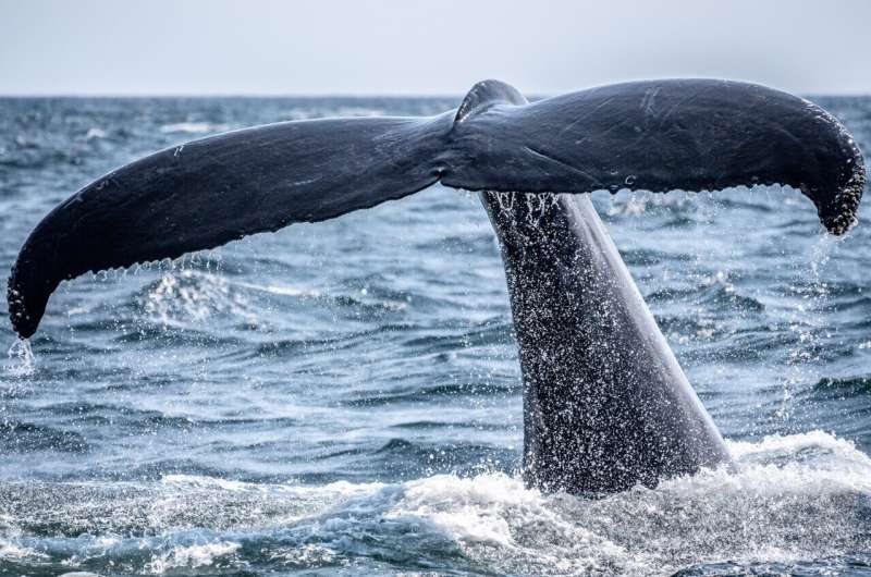
Yajing Liu and her team heard something troubling in the data. When they looked at a single day of recordings from the floor of Canada's St. Lawrence River, they could see whale calls and ship traffic appearing at the exact same time and place. To Liu, a professor at McGill University's Department of Earth and Planetary Sciences, that overlap suggested the ships might be drowning out the whales.
The discovery came from a new kind of monitoring system that Liu's team built alongside researchers from Natural Resources Canada, Université du Québec à Montréal, and Dalhousie University. Unlike traditional monitoring networks that focus on just one thing, this system tracks earthquakes, water movements, whale calls, ship noise, and even mining blasts all at once.
The network uses devices called ocean bottom seismometers placed on the riverbed, combined with stations along the coastline and on land. Liu's team deployed the instruments across the Lower St. Lawrence Estuary between the towns of Rimouski and Sept-Îles, keeping them in place from September 2023 through May 2025 to avoid the busy summer fishing season. The sensors recorded continuously, capturing 250 measurements every second.
The results surprised even the researchers. When they compared their data with Canada's national earthquake monitoring system, Liu's network detected roughly twice as many earthquakes in the same timeframe. It also picked up clear signals from tidal activity, information that could help scientists build better models of how ocean water moves and circulates.
The St. Lawrence Estuary is one of the most active earthquake zones in Eastern Canada. It's also one of the country's busiest waterways for cargo ships. For Liu, that combination makes the monitoring network especially valuable.
"The advantage is that one dataset can serve multiple purposes," Liu said. "We're able to observe earthquakes, ocean conditions and marine life at the same time."
Previous research by Liu's team used only land-based sensors, but the estuary stretches up to 100 kilometers wide in some places. Signals from deeper water often got lost before reaching the shore. Placing sensors directly on the riverbed gave the researchers much better coverage to map where whales were traveling and communicating.
The researchers say the system could help shape environmental protection rules and shipping regulations in one of Canada's most important waterways. By showing exactly how ship noise overlaps with whale activity, the data might eventually help officials decide when or where ships should slow down to give marine life a quieter passage.