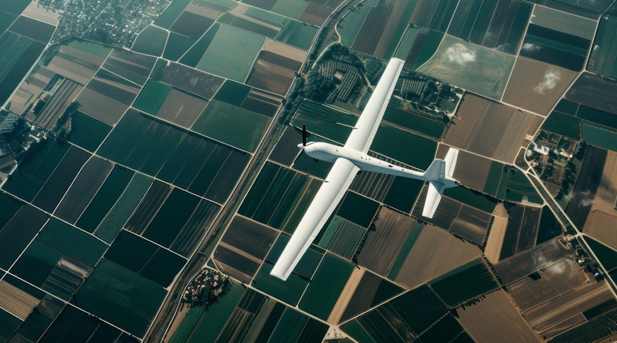
Imagine a drone that never needs to land to recharge — powered entirely by the sun. Now imagine scientists using 25 years of satellite weather data to figure out exactly when that drone can stay in the air longest. That's exactly what a researcher in Poland has figured out, and it could change how we monitor forests, crops, and disaster zones.
Piotr Lichota works at the Warsaw University of Technology in Poland. He studies solar-assisted Unmanned Aerial Vehicles, or UAVs — flying machines that use sunlight to power their batteries. These drones could one day monitor forests for wildfires, help farmers check their crops, or aid rescue teams after natural disasters. The problem is that clouds keep getting in the way.
Central Europe, where Poland sits, has tricky weather. Low-lying clouds drift in and out unpredictably, blocking sunlight and cutting into how long a solar drone can fly. In the past, scientists used simple "clear-sky estimates" to predict flight times — basically guessing what would happen if the sun shone all day with no clouds. But real weather doesn't work that way, and those guesses were often wrong.
So Lichota turned to SolarAnywhere, a database that stores more than 25 years of actual satellite measurements of sunlight around the world. Instead of guessing, he fed this real-world data into a computer model that simulates how clouds and sunlight change hour by hour. The model uses something called Maximum Likelihood Estimation to separate real cloud patterns from clear skies. It turns out that the standard weather averages used in the past had significant errors when compared to what satellites actually measured.
What Lichota discovered was surprisingly practical. A drone launched at midday, when the sun is strongest and clouds tend to thin out, has a much better chance of staying aloft longer than the same drone launched early in the morning. That's not obvious from old clear-sky theories. The model can now tell engineers exactly how changes in design — like adding bigger wings to catch more sun or installing a bigger battery — would affect the odds of completing a specific mission.
This work matters because it moves solar drone design away from guesswork and toward real-world probabilities. Instead of asking "what's the theoretical maximum flight time?" engineers can now ask "what's the chance our drone finishes the job?" That shift could help solar-powered UAVs move from experiments into everyday use for environmental monitoring, farming, and emergency response.
The research was funded by the National Science Centre in Poland. Lichota's framework is still being developed, but it offers a clearer path forward for designing the next generation of green technology — technology that flies.