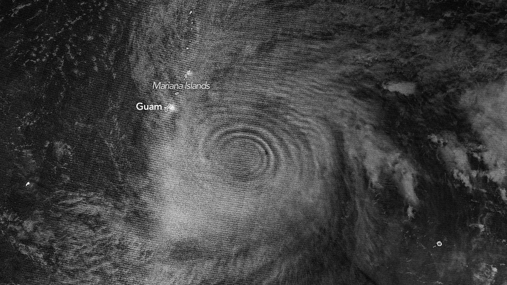
In mid-April 2026, Super Typhoon Sinlaku didn't just hammer the North Pacific with destructive winds and flooding—it etched perfect rings into the upper atmosphere, visible from space in a way that left scientists startled. The Japan Meteorological Agency classified the storm as "violent typhoon" status, roughly equivalent to a Category 5 hurricane, making it one of remarkably few storms this intense to develop so early in the year in that part of the Pacific.
What made Sinlaku extraordinary wasn't just its raw power but what it revealed about how tropical cyclones reshape the air layers miles above Earth's surface. Scientists have long understood that intense storms generate powerful updrafts near their eyewalls, pushing towering clouds called "hot towers" high into the stratosphere and mesosphere. But Sinlaku offered meteorologists something rare: a perfect natural laboratory, visible from orbit through atmospheric gravity waves—ripples not unlike those created when a stone hits water, except these waves stretched across the upper atmosphere and could be seen glowing in the night sky.
The VIIRS instrument aboard the NOAA-20 satellite captured the phenomenon in a nighttime image, detecting the waves through airglow in the mesosphere, the layer where atoms and molecules release stored solar energy as light after dark. Joan Alexander, a senior research scientist at NorthWest Research Associates, was struck by what she observed. "We're seeing waves propagating radially and upward, in a cone-like shape," she noted, adding that the nearly complete rings were surprising—normally, upper-level winds would scatter such waves before they reached those heights. But on April 2026, relatively weak stratospheric winds at Sinlaku's latitude allowed the wave patterns to remain eerily intact.
The window for observation proved crucial. The VIIRS day-night band can detect both airglow and moonlight reflected from clouds, but the Moon was only about 25 percent illuminated on April 12, providing just enough light to avoid drowning out the fainter airglow signal. NASA's Aqua satellite detected the same waves lower in the stratosphere on April 13, and the ripple pattern persisted in observations through April 14, proving the storm's atmospheric influence lasted multiple days. The timing mattered: Sinlaku had intensified dramatically in just 24 hours, jumping from Category 2 to Category 5 strength right before the clearest observations were captured.
Beyond the visual spectacle, scientists see practical value in studying these gravity waves. Alexander and her colleagues argue that monitoring gravity waves could eventually help forecasters identify when tropical cyclones are rapidly intensifying, a critical challenge over remote ocean regions where direct storm observations are sparse. "We'd like to use gravity waves to tell us if a storm is intensifying," Alexander said, "which can be difficult to know, especially over the open ocean." A geostationary satellite equipped with the right infrared imaging technology could potentially track these wave patterns continuously, offering new early warnings for dangerous storm development.
The implications ripple even further. Laura Holt, also at NorthWest Research Associates, emphasizes that weather models must account for stratospheric processes because wind patterns there influence long-range forecasts, including winter conditions months ahead. Tropical cyclones' sustained, powerful convection continuously drives gravity waves into the stratosphere at unusual scales. Sinlaku's case demonstrates how understanding these atmospheric connections could sharpen everything from short-term tropical cyclone warnings to seasonal climate predictions—if scientists can harness what the storms themselves are trying to tell us.