A fire in a mountain valley can burn for hours before anyone sees the smoke. By then, it might already be unstoppable. Greece just flipped that story on its head — the country has become the first in the world to launch a satellite system built specifically to catch wildfires before they spiral out of control.
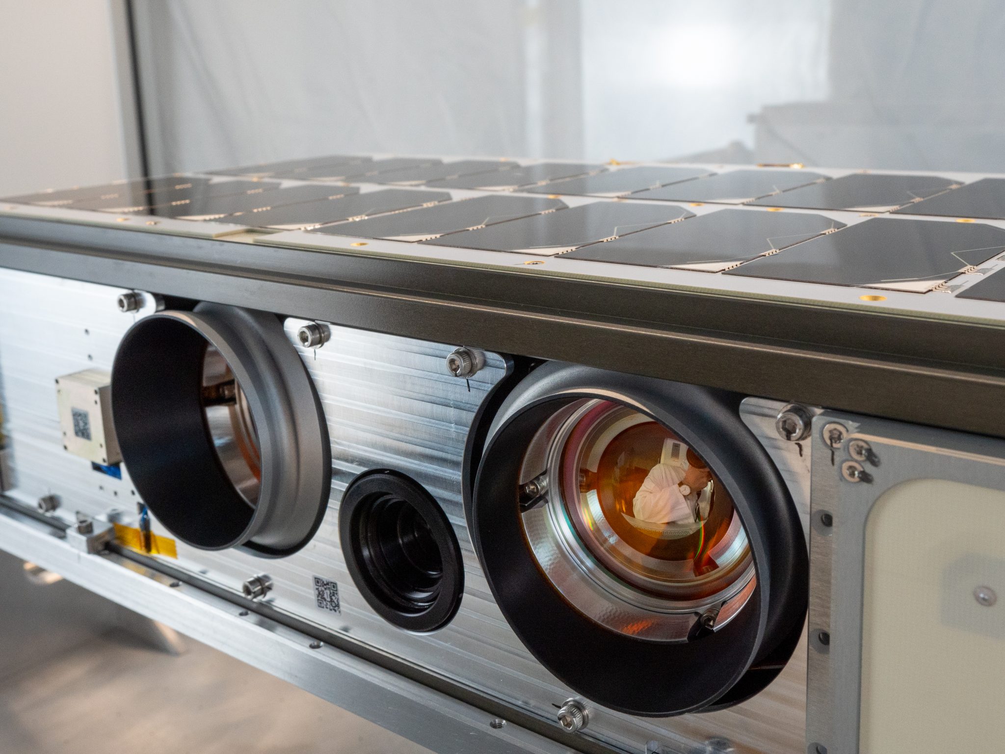
In May, Greece sent four tiny nanosatellites into orbit. Each one is smaller than a carry-on bag you might take on an airplane. They're called OroraTech, and together they form the world's first wildfire-focused satellite constellation. Conventional satellites can't spot a fire until it's roughly the size of a cruise ship — massive and already spreading fast. These new satellites catch flames when they're only four meters across, roughly the length of a large car.
Here's how it works: the nanosatellites capture thermal images from space and feed them to artificial intelligence programs. The AI looks at tiny grid cells — just four meters by four meters — and learns to tell the difference between a real fire and things that look hot but aren't, like sun-heated rocks, rooftop solar panels, or factory equipment. When something looks like a fire, the system sends an alert to emergency workers with the exact location, size, and intensity already calculated.
Fire Brigade Commander Zisoula Dasiou said the hourly updates are the real game-changer. "With the four nanosatellites OroraTech launched in May, we will have this type of information every hour. There will be no gaps in coverage," she said. That matters most in hard-to-reach places. In cities, people spot smoke quickly. But out in a national park or an empty mountain valley, hours can slip by unnoticed — exactly when a small fire becomes a big one.
The system also runs spread simulations. Field commanders can pull up a tablet and see where a fire is likely to travel and how moving crew positions might change the outcome. It's like a weather forecast, but for wildfire behavior.
Greece has seen some of the worst wildfire seasons in Europe in recent years. The system went live just as summer was starting — the most dangerous time. Dimitris Papastergiou, Greece's Minister of Digital Governance, said remote fires are now spotted far faster than before. "A fire in a national park or a remote area can be detected much more quickly by such a satellite, which, thanks to its thermal cameras, can pick up these hot spots."
The project was funded by the European Union, and all four satellites are now fully operational. OroraTech CEO Ioannis Lantouris described the process simply: scan an area, feed the images to AI models that analyze them cell by cell, and pass the results to fire services. "Based on that analysis and the data held by the AI models, they can determine whether it is a fire or not," he said.
For a country that has watched forests and villages burn in recent summers, this constellation of four small satellites circling overhead represents something new — a chance to catch the fire before it catches them.